If you are searching in western Malibu, one of the first surprises is that it does not feel like one neighborhood at all. A beach-front street, a flat tract near Trancas, and a canyon property up Encinal can offer very different daily experiences, even when they are only minutes apart. Understanding those differences can help you narrow your search faster, read listings more clearly, and focus on the pockets that fit the way you actually want to live. Let’s dive in.
Western Malibu at a glance
Western Malibu is best understood as a collection of distinct pockets rather than one uniform area. City planning materials point to Trancas Canyon as an important dividing line, separating the lower-density Malibu West and Malibu Park areas from the more sparsely developed parts of West Malibu.
For most buyers, the easiest way to think about the west end is by coast versus canyon. Along the coast, you will find beach-oriented pockets shaped by shoreline access, bluff conditions, and visitor traffic. Inland and uphill, you will see a shift toward larger parcels, more rural residential patterns, and a stronger focus on privacy, views, and terrain.
Beach neighborhoods in western Malibu
The beach corridor in western Malibu is not one continuous experience. Zuma, Point Dume and Westward, and the Trancas to Broad Beach stretch each have their own physical character and lifestyle tradeoffs.
Zuma Beach area
Zuma is the biggest beach anchor in western Malibu. Los Angeles County describes Zuma Beach as having 1.8 miles of frontage across 105 acres, with about 2,000 parking spaces, restrooms, showers, food stands, restaurants, volleyball nets, and a bus stop.
That scale matters when you read listings nearby. Homes around Zuma benefit from close access to one of the area’s best-known beaches, but they are also tied to the rhythm of a major public beach with active parking, traffic flow, and regular visitor use. If your goal is easy beach days and broad sand access, Zuma is often a key reference point.
Point Dume and Westward
Point Dume and Westward offer a different coastal setting. California State Parks describes Point Dume State Beach as a place of headlands, cliffs, rocky coves, and broad beach access, while Los Angeles County notes more than one mile of frontage, 34 acres of sand, 373 parking spaces, a hiking trail, and access for swimming, diving, surfing, and scuba diving.
This area tends to feel more defined by landform than by a long, flat beach profile. The bluff-top setting, stair access, and coves create a more segmented shoreline experience. For buyers, that means a listing here is often as much about topography, path-to-sand access, and orientation as it is about the house itself.
Trancas and Broad Beach shoreline
The Trancas and Broad Beach stretch is better viewed as a pocket-beach and bluff-front landscape than a single continuous sandy strand. City coastal materials group Trancas Beach with Robert H. Meyer Memorial State Beach and Point Lechuza, while California State Parks describes Robert H. Meyer Memorial State Beach as a series of pocket beaches including El Pescador, La Piedra, and El Matador.
This part of western Malibu has a more dramatic coastal feel, but it also comes with real shoreline variation. The Broad Beach restoration project notes long-term erosion along the shoreline fronting roughly 80 homes between Lechuza Point and Trancas Creek, and public access through some dedicated accessways can become difficult during severe storms and tidal action. For buyers, shoreline conditions here should be part of the property conversation from the start.
Canyon and hillside neighborhoods
Once you move inland or uphill, western Malibu changes noticeably. The setting becomes less about immediate sand access and more about parcel size, privacy, open space, and the practical realities of hillside living.
Trancas Canyon as a transition zone
Trancas Canyon is one of the clearest transition areas in the west end. The City’s Trancas Canyon environmental review identifies three distinct neighborhood groupings: Malibu West Subdivision, upper Trancas Canyon Road and Trancas Highlands, and the Bailard/Lunita area.
The same city document notes that the commercial center at Trancas Canyon Road and Pacific Coast Highway primarily serves Malibu West, the surrounding community, and travelers on Highway 1. That makes Trancas an important connector between beach-oriented and canyon-oriented living.
Malibu West and flatter west-end areas
Malibu West is described by the city as a single-family residential community, and planning materials place Malibu West and Malibu Park in a Single-Family Medium category at 2 units per acre. In practical terms, these flatter west-end areas often feel more connected to everyday services than the more rural pockets farther uphill.
For many buyers, this is the middle ground that works well. You are still in western Malibu, still close to the coast, but your day-to-day pattern may feel more convenient than in deeper canyon locations.
Upper Trancas, Encinal, and hillside pockets
As you move uphill, density drops and lot sizes often increase. City planning materials describe West Malibu as RR-5 at 1 unit per acre, and the Trancas Canyon report says land west and north of Trancas Canyon Road includes one- to ten-acre single-family parcels zoned Rural Residential.
That housing pattern shapes the lifestyle. Canyon and hillside listings often trade beach immediacy for more space, more separation between homes, and a more rural residential feel. If you value privacy, open views, and larger sites, these pockets may be the better fit.
Parks and recreation nearby
Recreation is one of the biggest differences between western Malibu pockets. If you like having public open space close by, the type of park near a property can tell you a lot about the area’s day-to-day feel.
Charmlee Wilderness Park
Charmlee Wilderness Park on Encinal Canyon Road covers more than 532 acres and includes over eight miles of hiking trails, picnic areas, native plants, and a nature center. That makes it a major amenity for buyers drawn to western Malibu’s hillside and canyon settings.
A home near this part of the west end can appeal to people who want a stronger connection to trails, topography, and open land. In those areas, the outdoor setting becomes part of the property’s value story.
Trancas Canyon Park and Trancas Field
Trancas Canyon Park serves a more local community role. It includes a dog park, playground, soccer field, picnic areas, restrooms, and parking, while Trancas Field adds another open-space asset at Trancas Canyon Road and Pacific Coast Highway.
These amenities matter most in the flatter Trancas corridor. They support a more everyday, neighborhood-centered lifestyle and can be a meaningful factor if you want western Malibu access with a practical community anchor nearby.
How to read western Malibu listings
In western Malibu, buyers often do better by choosing the right pocket first and the right house second. That is because the differences between micro-areas can be just as important as square footage or bedroom count.
Focus on the core tradeoffs
A useful way to compare listings is to look at three things first:
- Beach access
- Lot size
- Daily convenience
Beach-facing pockets near Zuma, Point Dume, and the Trancas or Broad Beach shoreline offer the closest sand access. At the same time, they are more directly shaped by public beach traffic, parking patterns, and shoreline conditions.
Check convenience in Trancas
If everyday access matters, flatter Trancas and Malibu West listings deserve close attention. The commercial center at Trancas Canyon Road and Pacific Coast Highway serves the surrounding community, and Trancas Country Market is located at 30745 Pacific Coast Highway, Suite 24, with daily hours listed from 6:30 a.m. to 9 p.m.
That may not sound like a major detail at first, but in Malibu it can make a real difference. Buyers who want easier shopping and errands often notice the value of being near this west-end node.
Understand hillside practicalities
Upper Trancas, Trancas Highlands, Encinal Canyon, and similar hillside pockets are often a better match if you prioritize space, privacy, and views. They also come with location-specific planning needs.
The City notes that Public Safety Power Shutoff events can occur when the National Weather Service forecasts critical fire weather, and Malibu is divided into eight SCE circuit areas. For buyers considering canyon and hillside homes, wildfire planning and power-outage readiness are part of the practical decision-making process.
Treat each property as site-specific
Because all of Malibu lies within the California coastal zone, development and activity inside city limits are governed by the City’s Local Coastal Program and related coastal permit rules. That means western Malibu listings should be read as site-specific opportunities rather than generic inventory.
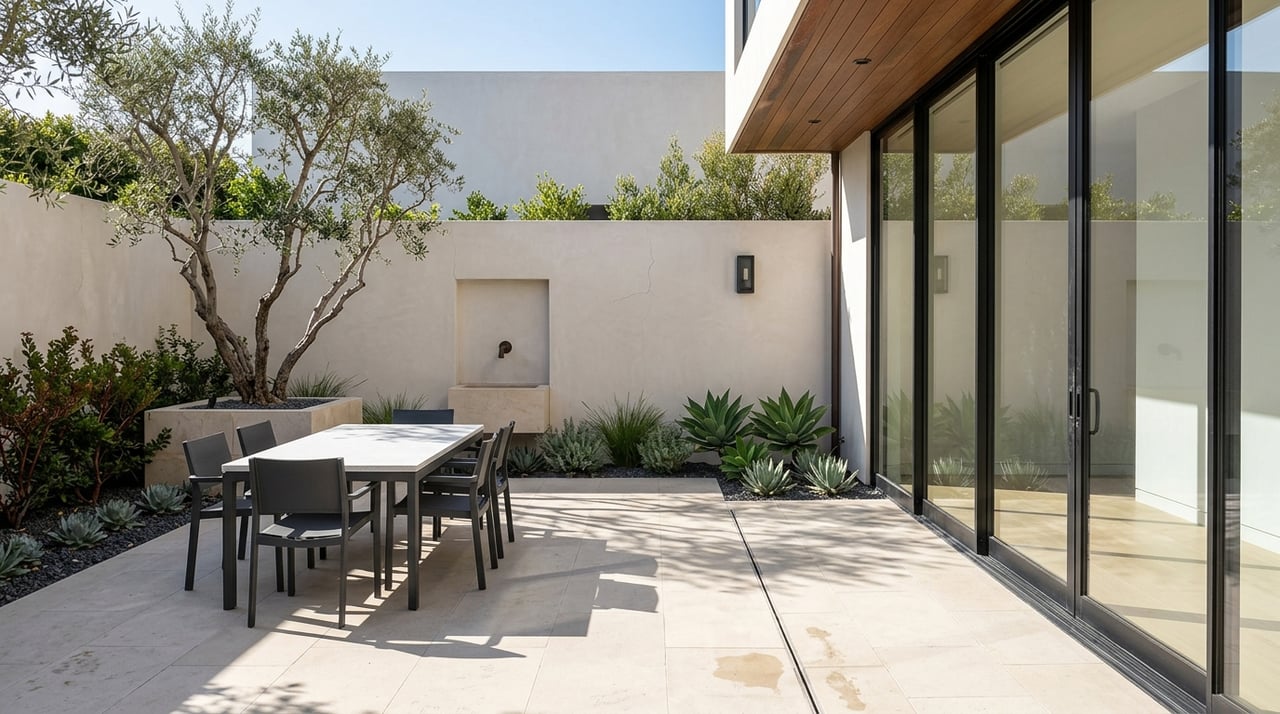
Lot size, zoning, beach access, roadway exposure, and view orientation can all matter as much as the floor plan. This is especially true if you are comparing oceanfront property, a bluff-adjacent home, a large rural parcel, or a future rebuild site.
Which western Malibu pocket fits you?
If you are trying to narrow your search, it helps to match your priorities to the setting.
Beach-focused buyers
You may want to start near Zuma, Point Dume, Westward, or the Trancas and Broad Beach shoreline if your top priority is getting to the sand quickly. In these areas, the beach is not just nearby. It strongly shapes access, traffic patterns, and the overall feel of the location.
Convenience-focused buyers
You may feel most comfortable in flatter areas tied more directly to Trancas and Malibu West. These pockets offer a practical balance between coastal access and day-to-day usability.
Space and privacy-focused buyers
You may be better matched to upper Trancas, Encinal Canyon, Trancas Highlands, or similar hillside areas if you care more about larger lots, open views, and a quieter rural residential setting. These pockets usually require a more careful look at terrain, access, utilities, and preparedness planning.
Western Malibu rewards local knowledge because no two pockets function exactly the same way. The closer you look at beach access, lot layout, zoning, and daily use patterns, the easier it becomes to separate a beautiful listing from a property that truly fits your goals.
If you are weighing west-end neighborhoods, comparing canyon versus coast, or evaluating a site with long-term value in mind, Bill & Daniel Moss can help you sort through the details with the kind of hyperlocal perspective that western Malibu demands.
FAQs
What is western Malibu in Malibu, CA?
- Western Malibu is best understood as a collection of distinct beach, canyon, and hillside pockets rather than one uniform neighborhood area.
What are the main beach areas in western Malibu?
- The main beach-oriented areas include Zuma, Point Dume and Westward, and the Trancas to Broad Beach shoreline.
What makes Trancas Canyon important in western Malibu?
- Trancas Canyon acts as a key transition zone between flatter residential areas and the more sparsely developed western and hillside sections of Malibu.
How are canyon homes different from beach homes in western Malibu?
- Canyon and hillside homes often offer larger lots, more privacy, and a more rural residential feel, while beach-area homes are more closely tied to shoreline access, traffic, and coastal conditions.
What should buyers watch for in western Malibu listings?
- Buyers should pay close attention to beach access, lot size, zoning, daily convenience, roadway exposure, and site-specific coastal or hillside conditions.
Why do micro-neighborhoods matter in western Malibu real estate?
- Micro-neighborhoods matter because nearby areas can have very different terrain, access, density, and lifestyle tradeoffs that directly affect how a property lives and holds value.